
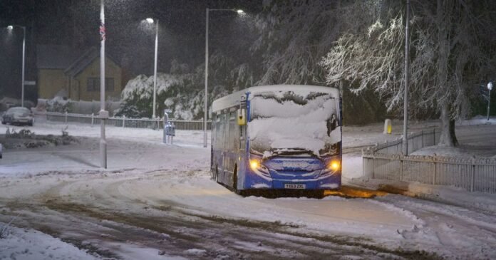

A unique weather event is affecting 26 regions throughout the UK, prompting the Met Office to issue a snow and ice warning. This warning is among several currently active for today and tomorrow, encompassing areas in northern England and Scotland. Anticipated snowfall ranges from 5cm in lower areas to potentially 20cm in elevated regions.
The weather advisory is scheduled to remain in effect until 2pm today, with the Met Office cautioning about possible vehicle stranding, train service delays, power outages, and risks of slips and falls. Additionally, the warning area is expected to experience “freezing rain” leading to the formation of “black ice,” emphasizing the need for caution on roads and recommending essential items like warm clothing, food, water, a blanket, a torch, and an in-car charger.
Freezing rain, described as a rare phenomenon by the Met Office, occurs when snow transitions into rain in warm air, then refreezes upon contact with cold air, forming supercooled droplets that instantly freeze upon reaching the ground. This type of precipitation poses significant hazards, particularly on bridges, overpasses, and elevated surfaces, increasing the risk of icing and potential damage to structures like tree branches and power lines. The National Weather Service in the US highlights the dangers freezing rain poses to aircraft due to its hazardous effects.