
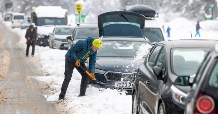

The Met Office has identified potential snowfall locations in the UK for the upcoming week.
Various areas experienced snow over the weekend, leading to the issuance of multiple weather warnings by the Met Office. Although those warnings have now lapsed, the outlook suggests a likelihood of wintry conditions in the days ahead.
According to the Met Office, Tuesday will commence with cold and frosty conditions, featuring dry and sunny intervals for many. There may be scattered showers, primarily in the north and east, with cloud cover expected in the southwest later in the day, possibly bringing snow later in the week.
The Met Office anticipates predominantly dry weather in northern areas on Wednesday and Thursday, while the south could encounter rain and hill snow. Nights are forecasted to turn frosty towards the end of the week, with rain advancing from the west on Friday.
BBC Weather also forecasts snow in southern regions later in the week, accompanied by heavy rain and sleet.
Looking ahead to Wednesday through Friday, the BBC predicts a cloudy but dry start on Wednesday, with breaks in the clouds during the afternoon leading to some clear periods. However, heavy rain, sleet, and hill snow are expected to develop in the evening. Thursday may start cloudy with patchy rain and sleet, transitioning to drier and brighter conditions later in the day. Friday is projected to start dry and bright but become cloudy later on.
Further snowfall may occur later in February, as indicated by the Met Office forecast for February 20 to March 1, which suggests a likelihood of showers, longer spells of rain, occasional strong winds, and snow, especially on high ground in the north. Temperatures are expected to vary around or slightly above average in the south and cold in the north. Despite initially unsettled weather, periods of drier conditions are anticipated to become more frequent and potentially extended over the period.