
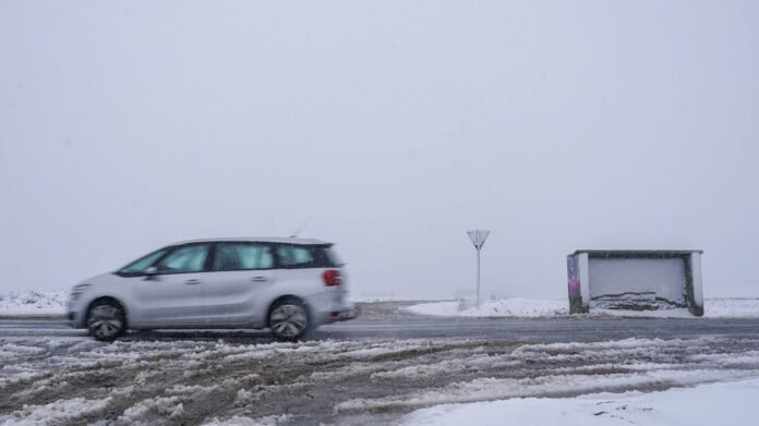

Weather models suggest that parts of the UK could experience snow, frost, and strong winds for a period of around 60 hours starting next week. The cold snap is expected to hit on Sunday, with wintry conditions beginning in Scotland and northern England on Saturday evening before moving southwards early on Sunday.
By Sunday midday, northern regions like Northumberland, Cumbria, and Durham may see snow accumulation of a few centimeters, while North Yorkshire and parts of West Yorkshire could experience lighter snow on higher terrain. In central and southern regions such as Staffordshire, Greater Manchester, and the West Midlands, any snowfall is likely to be limited to elevated areas, with areas like Oxfordshire, Hertfordshire, and Kent possibly experiencing frost overnight.
Scotland is predicted to face blizzard-like conditions, with the Highlands, Aberdeenshire, and Angus potentially seeing significant snow accumulations. Northern Ireland and Wales may also experience flurries and frost, with the possibility of light snow in elevated areas. The wintry weather is expected to persist in the northwest until Tuesday morning, with the Met Office forecasting periods of strong winds and rain during this time.
Looking ahead, the Met Office anticipates variable weather conditions across the UK from March 31 to April 2, with cooler temperatures expected by Thursday. In the longer-term forecast from April 3 to April 12, a divide between unsettled conditions in the northwest and more settled weather in the southeast is likely. Temperatures are forecasted to be near normal levels, with the potential for overnight frost in some areas.