
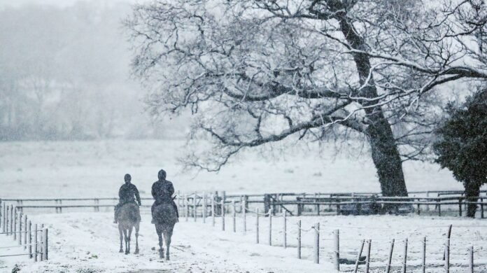

Recent weather maps reveal that certain areas of Britain are set to experience a chilling -4C temperature. Projections suggest the likelihood of snow and sleet in specific regions, including parts of north Wales and western Scotland, around April 14. Temperatures are predicted to plummet to as low as -4C as a cold Arctic front sweeps through during meteorological spring. This will sharply contrast with the expected 22C highs forecasted for this week, particularly in the Southeast of England.
WXCharts weather maps, utilizing Metdesk data, indicate that wintry conditions are on the horizon for various UK towns and cities in the upcoming week. The inclement weather is attributed to a low-pressure system moving in from the west coupled with strong southeasterly winds.
According to the maps, the onset of freezing temperatures is expected around 6 am on April 14, with Scotland expected to face the brunt of the sub-zero climate. Areas near Inverness in the Scottish Highlands might experience temperatures dropping to -4C, as per the maps.
The approaching Arctic cold front could also extend southwards, potentially causing temperatures to dip below freezing in major cities across northern England.
This significant temperature shift follows a period where parts of the UK are poised to enjoy 24C warmth. The warmest conditions are expected in the Southwest of England, Southeast of England, the East Midlands, and the East of England.
Commenting on the current weather, Met Office meteorologist Greg Dewhurst mentioned, “Warmer air will move in from the near continent across England and Wales from Tuesday through Wednesday. Temperatures are set to rise to the low 20s, with highs reaching around 20C or 21C on Tuesday and potentially 23C or 24C by Wednesday. The sunniest skies on Wednesday are likely to be in the southeast of England, where temperatures of 23C and 24C are expected.”
Looking ahead, the Met Office’s extended forecast for April 11-20 suggests continued variability with showers or occasional longer periods of rain across many areas.
The forecast notes the possibility of drier, brighter intervals occurring, and when winds are calm, it should feel relatively warm despite temperatures likely remaining close to normal. Beyond the middle of the month, high pressure may start to dominate, potentially bringing drier and warmer conditions, depending on the positioning of the high-pressure systems relative to the UK, as reported by the Express.
Inverness: -4C
Aberdeen: -3C
Newcastle: 0C
York: -1C
Carlisle: -1C
Manchester: 1C
Stoke on Trent: 1C
Leeds: -1C
Liverpool: -1C
At Reach and across our entities, we and our partners use information collected through cookies and other identifiers from your device to enhance your site experience, analyze usage, and display personalized advertising. You can opt out of data sale or sharing anytime by clicking the “Do Not Sell or Share my Data” button at the bottom of the webpage. Please be aware that your preferences are specific to your