
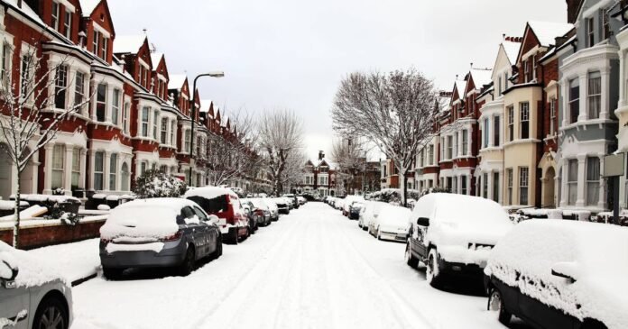

Britain is bracing for more winter conditions in the upcoming days, with snowfall expected in numerous cities across the country. New weather maps, using MetDesk data from WXCHARTS, are predicting significant snowfall of up to 97cm in certain parts of the UK. The snow is forecasted to start falling from Cape Wrath in northern Scotland down to Hereford in the Midlands beginning next Tuesday.
Scotland is likely to experience the harshest weather, with parts of the Highlands expected to receive up to 97cm of snow, while surrounding areas could see up to 12cm. In contrast, England is expected to have an average snowfall of just 2cm, mostly sparing the east and south regions.
According to the Met Office’s separate forecast for February 15 to 24, the UK can expect showers or prolonged rain due to Atlantic low-pressure systems dominating the area. Heavy rain is probable in some regions, particularly in western hills, with occasional snow in the north, mainly on elevated terrain. Strong winds may occur, especially along the coasts, with temperatures likely to remain normal. Towards the end of the period, there is a possibility of drier and more settled conditions emerging.
The Express has reported existing weather warnings for the current week as snowfall is anticipated as far south as Derbyshire. However, the most severe weather conditions are expected next week with heavy snowfall predicted. Various cities across the UK, including Perth, Stirling, Hereford, and Birmingham, are expected to witness snowfall in the coming week.
This forecast follows a period of heavy and prolonged rainfall. The UK has endured a record-breaking 42 consecutive days of rainfall, with meteorologists cautioning that the dreary conditions are likely to persist for several more weeks. The persistent rain has been attributed to low-pressure weather systems lingering across the UK, commonly referred to as a “blocked” weather system.