
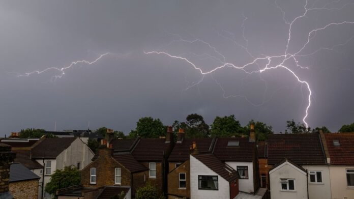

The Met Office has issued a thunderstorm alert for six counties scheduled for Tuesday. The warning will be effective in Northern Ireland from midday until 9 pm. The Met Office advises residents in flood-prone areas to prepare a flood plan and emergency kit. Anticipated effects include possible flooding of homes and businesses, impacting driving conditions due to spray, standing water, or hail, leading to longer travel times by car and bus.
Potential disruptions to train services and structural damage from lightning strikes are also possible, with the likelihood of temporary power outages and service interruptions. Northern Ireland may experience up to 30mm of rainfall within a two-hour period, accompanied by strong winds and hail during the heaviest showers.
In addition to flood preparedness, individuals are encouraged to ready themselves for possible power failures. The Met Office recommends gathering essentials such as torches, batteries, a mobile phone power pack, and other necessary items to better manage power outages. This warning contrasts with ongoing high temperatures across most regions today.
London is expected to reach 34°C, the Midlands at 32°C, the north-west at 29°C, and Cardiff at 27°C. Cooler temperatures are forecasted for Northern Ireland and Scotland, with projected highs of 21°C in both Belfast and Glasgow. The BBC Weather forecast indicates cloudy conditions with rain in the north and west tonight, continuing into tomorrow with showery rain in Scotland and a mix of sunny spells, patchy clouds, and scattered showers elsewhere.