
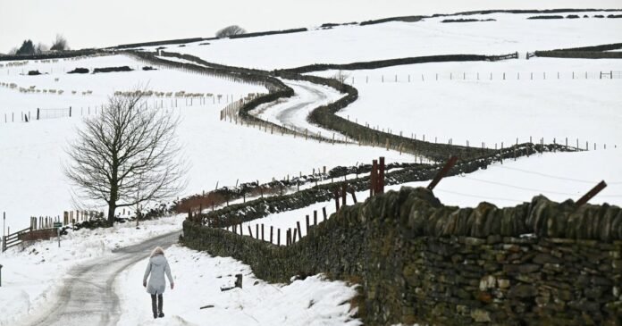

Britain is set to experience more snow in the coming 48 hours, as per the latest forecasts. Several regions in the UK are currently under Met Office yellow weather warnings, including north Wales, northern England, and parts of Scotland. These areas are advised to brace for further disruptions due to wintry conditions, with potential risks of slips and falls on icy surfaces following recent snowfall.
The Midlands may also see snow and icy conditions. Although the current alerts are expected to expire by the evening, another cold spell is anticipated by Friday, driven by cold air moving in from the east and mixing with rain, as indicated by weather maps from WXCharts.
The Met Office has issued various weather warnings for snow and ice until 9 am today, covering areas from Staffordshire in the south to parts of North Yorkshire. Snowfall is concentrated over the Pennines, including regions in Yorkshire, Derbyshire, and Lancashire, with additional snow expected around Aberdeenshire and Dumfries.
According to a recent forecast by James Madden from Exacta Weather, rain bands are likely to bring cooler conditions, leading to wintry showers and snow on Friday, particularly in Ireland, Wales, and some central regions initially. There is also a possibility of wintry weather in parts east and west of Ireland on the same day.
The unsettled weather pattern is expected to persist in various parts of the country, with a mix of sunshine and showers in areas not affected by snow. Maximum temperatures on Wednesday are forecasted to reach 10C in London and Cardiff, 8C in Manchester, 7C in Belfast, and 5C in Edinburgh. Temperatures are anticipated to drop towards the weekend, except in the southeast where they will rise again on Sunday.
Rain and hill snow are predicted to be limited to the north, with windy conditions, especially in the northeast. Southern regions will experience drier conditions with some sunny intervals. Mild weather is expected in the south, while colder conditions prevail elsewhere.
The upcoming week is projected to remain unsettled with more cloud cover and rain showers. Brief periods of sunshine are likely in some areas, with additional hill snow anticipated in northern regions later on.